Editor’s note: This blog post was contributed by guest blogger Edward Wolf, a Portland writer and contributing author to Worldchanging: A User’s Guide for the Twenty-First Century.
 I have always been eager to understand the natural and human capital of the Pacific Northwest, the attributes of people and place that shape the possibilities of our home. I tend to frame sustainability in these bioregional terms.
But I’ve noticed that even the most dedicated bioregionalists treat geology, if they consider it at all, more as a passive template than an active force. I think it’s time to broaden that notion. We may be approaching one of those infrequent moments when geology meets history.
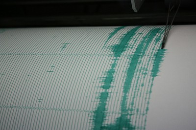
The Cascadia Subduction Zone is a plate-boundary fault that stretches from Cape Mendocino to Vancouver Island. It spawns earthquakes and tsunamis as powerful as any on earth. Barely known 25 years ago, Cascadia is now the most thoroughly studied subduction zone on earth.
New evidence suggests that Cascadia ruptures far more often than was believed even a few years ago. Cascadia has generated more than 40 earthquakes of Magnitude 8 or greater (i.e., comparable to the Chilean earthquake of February 2010) in the last 10,000 years. The most recent rupture of the fault has been dated precisely to January 26, 1700—311 years ago. About 80 percent of the intervals between those 40 documented earthquakes appear to be shorter than 300 years.
Geophysicists assess probabilities in a variety of ways, but their conclusions boil down to “we are living on borrowed time.” The best-informed people I know expect the next Cascadia quake and tsunami in our lifetimes, certainly in our children’s lifetimes. No aspect of our infrastructure has been built to withstand the shaking or the waves we will experience. Strange to say and harder to accept, in our vulnerability we may resemble Haiti more than we resemble Chile or New Zealand.
 Oregon is looking to
  Stormwater obviously causes problems for the environment and infrastructure, washing away salmon eggs in torrents of runoff and flooding basements. But does it threaten human health as well? You bet it does, and in ways that might surprise you.
 For the last several years something has really gotten under my skin: the way we talk about housing and affordability. I don’t like the way we