The Portland metro area is an interesting test case for smart growth. The Oregon side of the region operates under the nation’s most mature growth management system. The Washington side operates under a newer set of rules, enacted in the mid-1990s. On paper, the two growth management programs share many features. But as a new Sightline report shows, their records have diverged: Clark County, home to the city of Vancouver, Washington, has allowed substantially more housing and population growth on rural lands than the Oregon side of the Portland metro area.
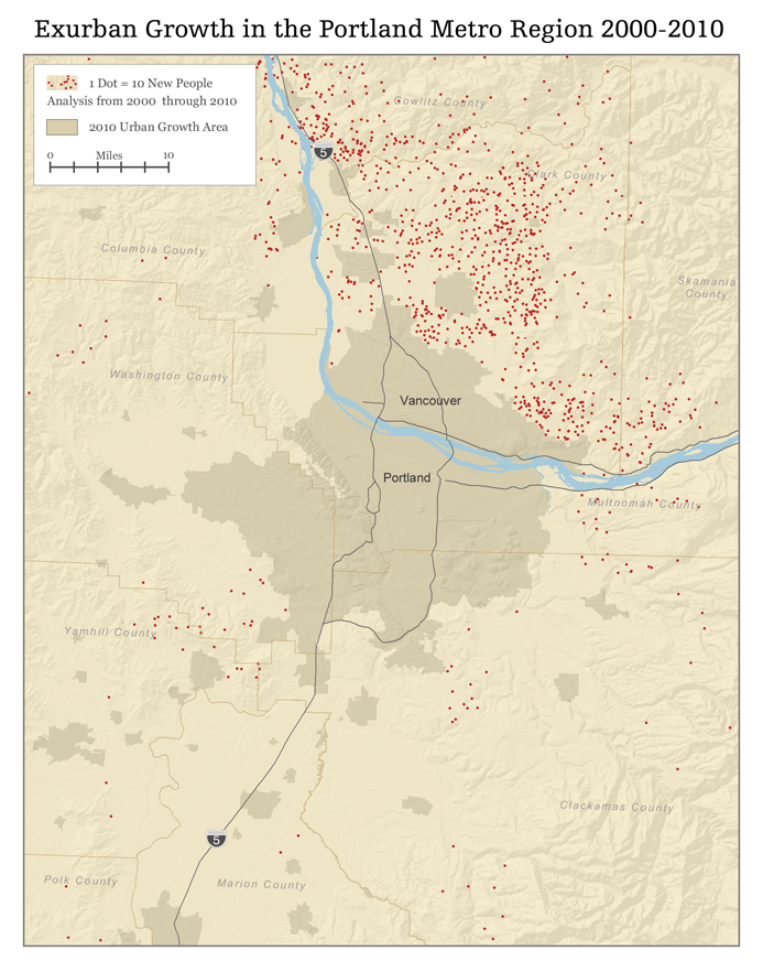
The differences between the Washington and Oregon sides of greater Portland are both clear and stark. Data from the US Census shows that, between 2000 and 2010, Clark County allowed far more “rural sprawl” than did Clackamas, Multnomah, and Washington counties in Oregon. To be sure, the Oregon side of the region added lots of new people and new houses—but only a smattering of that growth took place outside urban growth boundaries. In contrast, one in ten new houses in Clark County over the decade was constructed outside urban growth areas.
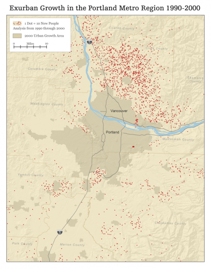
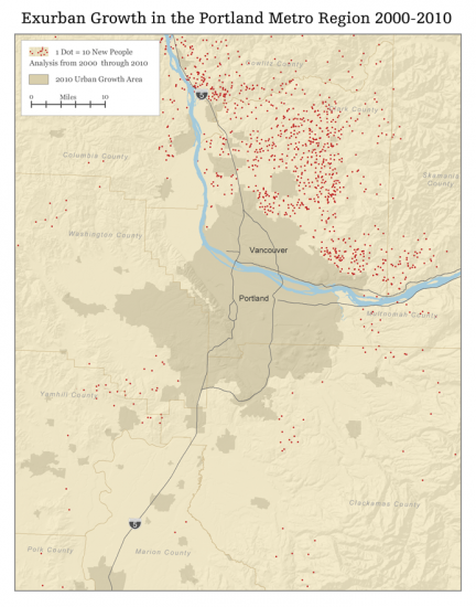
Here are the maps:
The contrasts between Oregon and Washington demonstrate that rural sprawl isn’t simply an inevitable consequence of population growth. Instead, rural sprawl results from policy choices. And Oregon’s policy choices clearly did a better job of protecting rural land from sprawling development than did the policies in place north of the Columbia.
For more maps and data, see our report!


Comments are closed.