-


Parking Mandates Are Keeping Kids Out of Daycare
But cities can ditch these arbitrary rules and help families out of the daycare desert. -
Washington’s Most Parking-Burdened Towns and Cities
A new Sightline report details the arcane, arbitrary, and pernicious rules blocking homes and businesses across the state. -
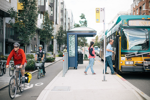
Can We Go Beyond Car Primacy—To Policymaking that Serves People and Places First?
Non-driver Anna Zivarts' case for steering away from car dependency. -
Bellingham’s Parking Reform Pilot Pays Off
Old Town’s first new building project has more than double the number of homes and less parking than the city’s old code would have allowed. The rest of the city might follow suit. -
Unlock Middle Housing with Parking Reform
As long as parking is required, smaller, lower-cost homes are still illegal. -
Inside Minnesota’s People over Parking Act, with Chris Meyer
Making the case for statewide elimination of parking mandates. -
How Parking Ratios Kill Homes
A string of mistakes in one city shows how easily local rules can turn arbitrary and destructive. -
From Vermont to Oklahoma, Legislatures Challenge Parking Mandates
Proposals to reduce overbuilt parking lots are popping up across the United States. -
Parking Mandates Are Vanishing Across Oregon
Six months into the pioneering state policy, regulatory costs are falling and projects are springing to life.


The way we design our cities and towns, as well as the modes of transport we use to move through them, can either help or hinder residents’ ability to reduce their carbon footprints. Whether that means unleashing innovative affordable housing solutions, prioritizing spaces for people over spaces for cars and parking, or shifting our transportation thinking away from boondoggle megaprojects, we can shape our communities to fulfill a more sustainable future.
Meet the team


